
Illinois and Indiana Prepare for Potential Tornadoes and Severe Weather Midweek
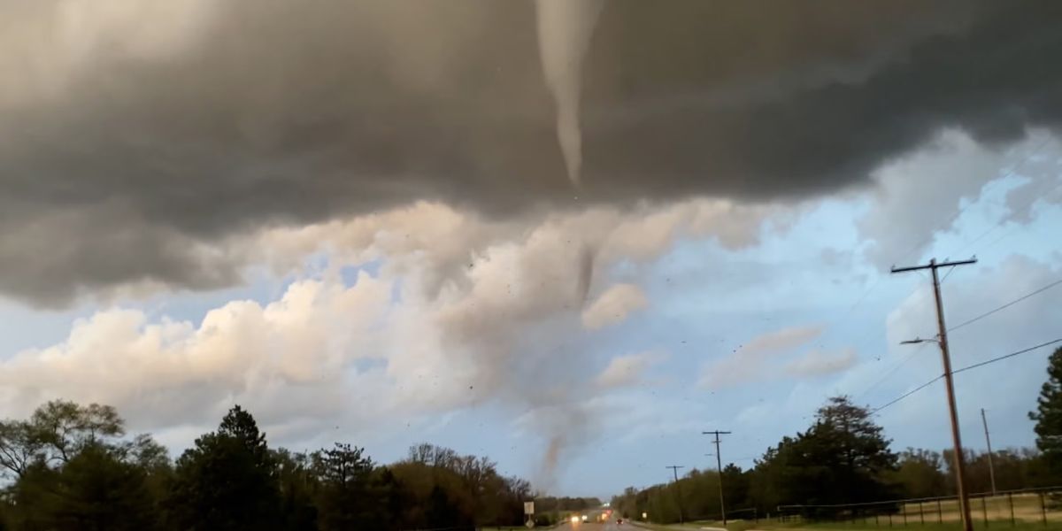
This past weekend we saw the most active severe weather periods since last spring. 109 tornadoes were reported from the Plains to the Deep South to the Ohio Valley this weekend.
This week attention turns to the Upper Ohio Valley. A new will be developing in the Central Plains and that storm system will head towad the Great Lakes.
The trailing cold front to the south will swing eastward across the Great Lakes and Ohio Valley bringing with it the risk for strong thunderstorms and the risk for severe weather. The risk period is Wednesday into Thursday morning with prime time being in the late afternoon Wednesday into the overnight Thursday.
The Storm Predition Center of the National Weather Service is indicating severe weather risk from the Lower Great Lakes and parts of the Upper Mississippi Valley southward to the Tennessee Valley and parts of the Deep South.
The highest risk area which at this time is being forecast as a “slight risk” or 15 percent chance, lies across Eastern Illinois and Western Indiana. This will also come with elevated tornado risk though the percentage forecast is not being indicated until Tuesday. This will put the time frame close enough for the Storm Prediction Center to determine a risk percentage.
At this time it doesn’t appear to be a system that will produce widespread tornado risk, or ef2-ef5 tornado risk. However residents in these states should pay close attention to latest forecasts.
This storm system and cold front will move eastward Thursday and colder air will be sweeping in behind the front. Heavy snow is forecast from Nebraska northeastward into the Upper Midwest and warnings for heavy snow could be issued for these areas Tuesday.